A complete guide to camping in Alabama
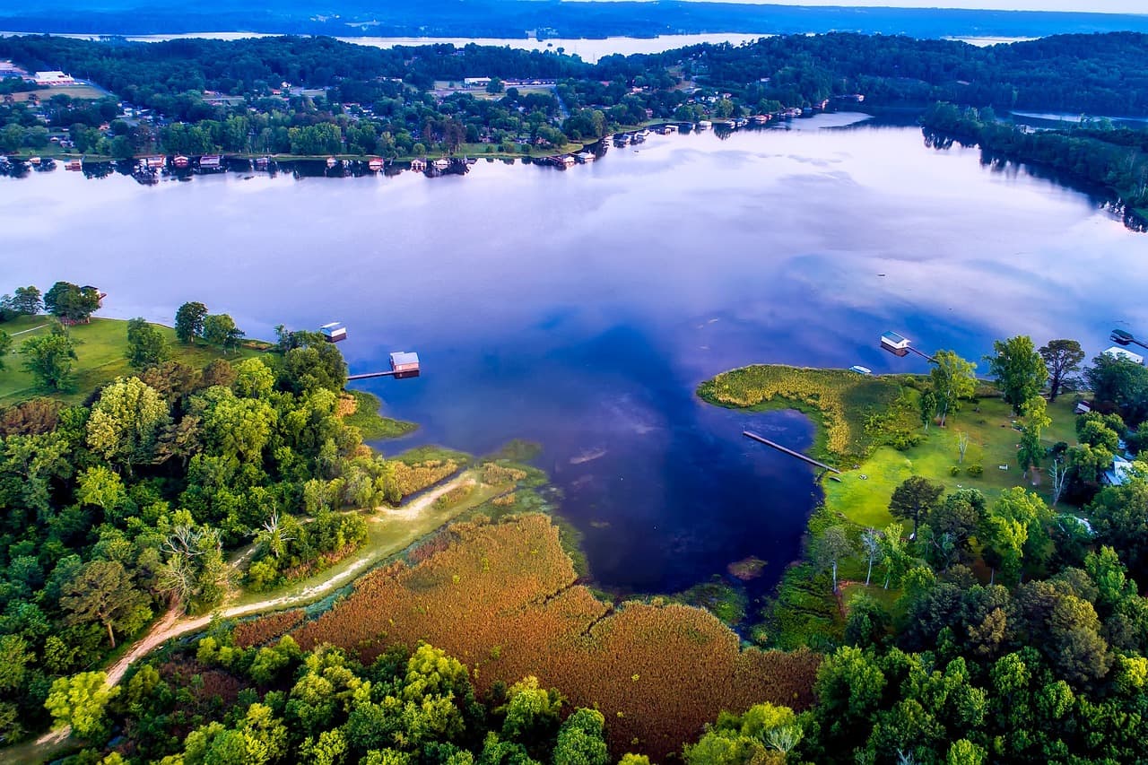
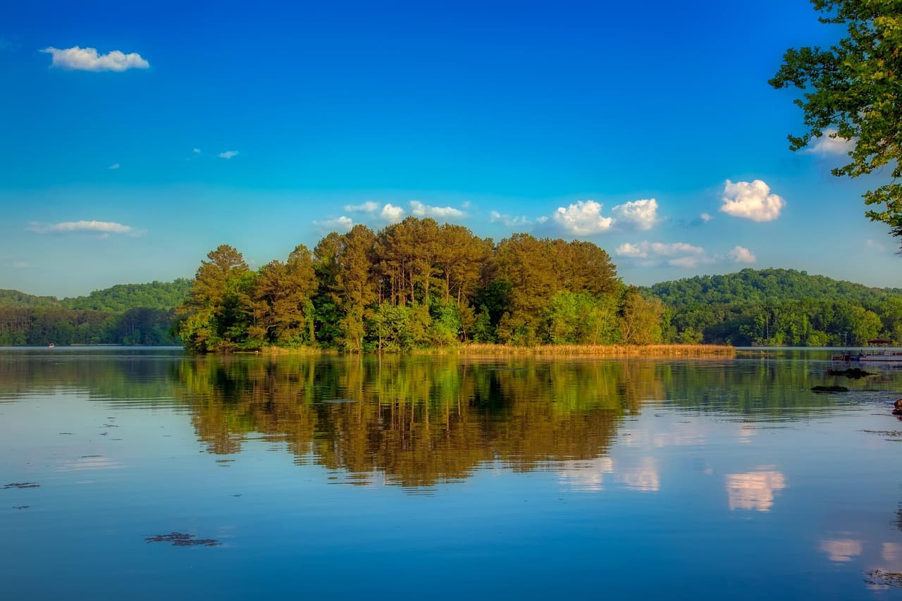
Alabama camping runs from the Tennessee Valley mountains in the north to the Gulf Coast beaches around Gulf Shores and Foley. The northern third of the state sits on the tail end of the Appalachian Plateau, where Mentone, Guntersville, and the Little River Canyon area provide forested ridge-top and lakeside camping at elevations approaching 1,700 feet. Lake Guntersville, one of the Tennessee Valley Authority's chain of reservoirs, anchors the northeastern camping corridor.
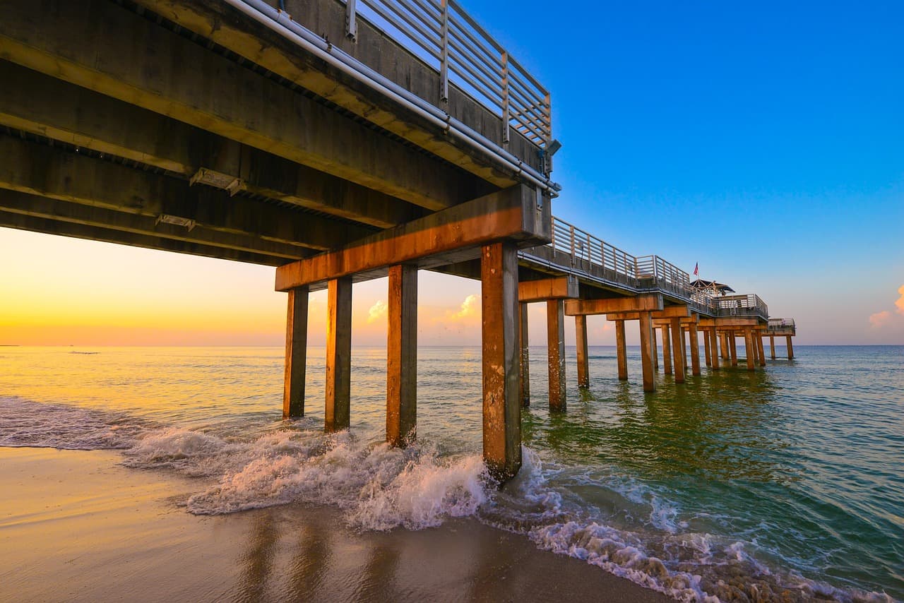
The Gulf Coast at the opposite end draws beach campers and winter visitors to Alabama's 32-mile coastline. Gulf Shores and Orange Beach sit on the barrier island with state park campgrounds and large private RV resorts. The middle of the state holds a quieter camping character along the Alabama and Tombigbee river systems, with state parks serving as the primary camping infrastructure. Lincoln, Athens, and the Bankhead National Forest round out the northern options.
Mar-May
High 68°F · Low 56°F
Azalea blooms on the coast and dogwood in the north. Temperatures reach the 70s statewide. One of the most comfortable camping windows. Gulf Coast beach water begins warming. Thunderstorm season increases through April.
Jun-Aug
High 84°F · Low 72°F
Hot and humid across the state. Gulf Coast beaches draw heavy traffic despite the heat. Northern mountain campgrounds offer partial relief. July averages 80 degrees statewide. Afternoon thunderstorms are daily events. Hurricane season runs June through November.
Sep-Nov
High 68°F · Low 56°F
Hurricane risk continues through October. Northern mountains see fall color by late October. Temperatures moderate by November. The Gulf Coast enters a pleasant shoulder season. Campground crowds thin.
Dec-Feb
High 52°F · Low 40°F
Mild winters keep campgrounds open year-round. January averages 44 degrees. The Gulf Coast draws snowbird RV travelers from November through March. Northern mountains cool into the 30s and 40s. Rarely cold enough to close campgrounds.
| Season | Months | Avg High | Avg Low | Conditions |
|---|---|---|---|---|
| Spring | Mar-May | 68°F | 56°F | Azalea blooms on the coast and dogwood in the north. |
| Summer | Jun-Aug | 84°F | 72°F | Hot and humid across the state. |
| Fall | Sep-Nov | 68°F | 56°F | Hurricane risk continues through October. |
| Winter | Dec-Feb | 52°F | 40°F | Mild winters keep campgrounds open year-round. |
Source: NOAA 30-Year Climate Normals

| Region | Terrain | Key Areas |
|---|---|---|
| Gulf Coast | Coastal | Gulf Shores, Foley, Orange Beach, Fairhope |
| Tennessee Valley and North Alabama | Lakefront | Guntersville, Athens, Huntsville, Scottsboro |
| Little River Canyon and Lookout Mountain | Mountain | Mentone, Fort Payne, Valley Head |
| Bankhead and Northwest Forest | Forest | Double Springs, Haleyville, Jasper, Hamilton |
| Central Alabama and River Country | Plains | Lincoln, Pelham, Alexander City, Clanton |
Coastal · Gulf Shores, Foley, Orange Beach, Fairhope
Alabama's 32-mile coastline at Gulf Shores and Orange Beach. Gulf State Park campground sits behind the dunes with beach access and a resort-style amenity package. Large private RV parks line the beach road. Bon Secour National Wildlife Refuge adds a more natural coastal experience. Winter draws seasonal RV residents. Island Retreat RV Park and Luxury RV Resort in Gulf Shores, and Bella Terra RV Resort in Foley provide the primary private campground options along the coast.
Lakefront · Guntersville, Athens, Huntsville, Scottsboro
TVA reservoirs and Appalachian foothills define the northern camping belt. Lake Guntersville State Park has the most developed lakefront camping in the region. Monte Sano State Park near Huntsville sits on a mountain plateau. Athens and the Elk River area provide quieter alternatives. Lake Guntersville State Park Campground provides the most developed lakefront public camping, while Northgate RV Travel Park in Athens serves the I-65 corridor.
Mountain · Mentone, Fort Payne, Valley Head
The northeast corner where Alabama meets Georgia and Tennessee. Little River Canyon National Preserve and DeSoto State Park anchor camping in forested mountain terrain. Mentone sits atop Lookout Mountain at 1,600 feet with cooler summers than the lowlands. Waterfalls and sandstone bluffs line the canyon. 1776 RV and Campground and Tranquility RV and Campground near Mentone sit atop Lookout Mountain, while Little River Campground in Fort Payne accesses the canyon floor.
Forest · Double Springs, Haleyville, Jasper, Hamilton
Bankhead National Forest and the Sipsey Wilderness in the northwest. Canyon systems, waterfalls, and hardwood forest at moderate elevations. Dispersed camping available on forest land. The most wilderness-feel camping in the state. Double Springs and Haleyville serve as supply towns. Bama Campground and RV Park near Double Springs and Twin Forks Campgrounds near Haleyville provide developed bases at the forest edge.
Plains · Lincoln, Pelham, Alexander City, Clanton
The Alabama and Tombigbee rivers and their tributaries run through the Piedmont and Coastal Plain. Wind Creek State Park on Lake Martin, Oak Mountain State Park near Birmingham, and Cheaha State Park (the state high point) offer developed camping. More spread out than the northern or coastal regions. Talladega RV Park near Lincoln and Birmingham South RV Park in Pelham serve the central Alabama metro corridor.

March through May and October through November. Spring brings warm water and manageable crowds. Fall offers mild temperatures and reduced hurricane risk. Summer is hot and crowded but the primary beach season. Winter draws long-term RV residents to the coast.
Gulf State Park has direct beach access, a fishing lake, over 28 miles of paved trails, and a nature center. It is the most complete state park campground in Alabama. Reservations fill months ahead for spring and summer but the facilities justify the planning. Private RV parks nearby offer alternatives with more availability.
The northeast corner around Mentone, Fort Payne, and DeSoto State Park sits on the Appalachian Plateau above 1,500 feet. Cheaha State Park near Lincoln is the highest point in the state at 2,407 feet. These areas run 10 to 15 degrees cooler than the lowlands in summer and have genuine fall color.
Bankhead National Forest in northwest Alabama permits dispersed camping on forest land. No fee or permit required. The Sipsey Wilderness within the forest has backcountry camping along canyon trails. Talladega National Forest in the east also allows dispersed camping. State parks require reserved campsites.
Alligators inhabit lakes, rivers, and coastal waterways in the southern half of the state. They are present at many campgrounds near water. Keep a safe distance, never feed them, and supervise children near shorelines. Alligator encounters are manageable with awareness but should not be ignored.